|
|
|
|
|
|
La Chapelle-Saint-Laud pictures
|
|
|
|
Photos of the town of La Chapelle-Saint-Laud
|
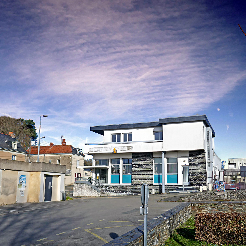
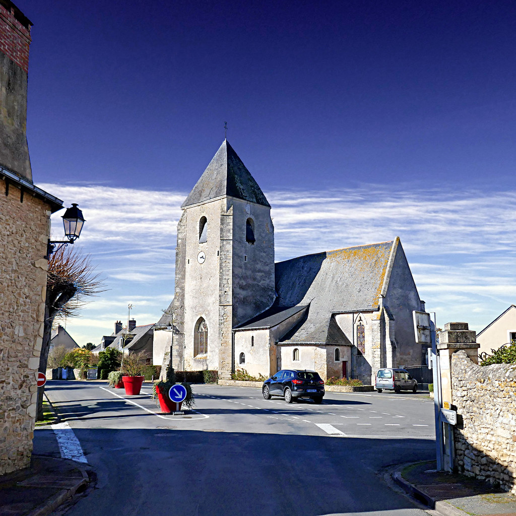
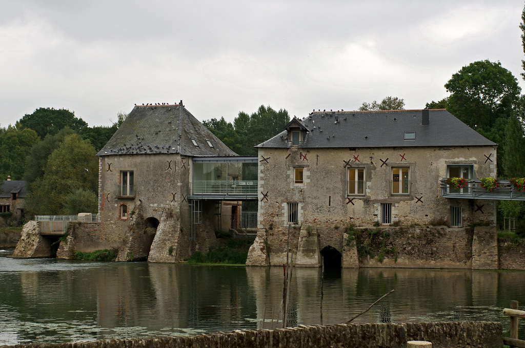
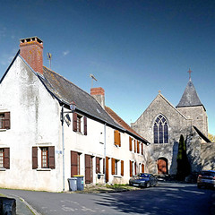
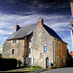
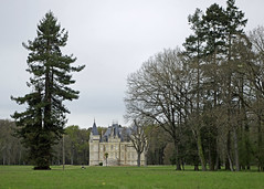
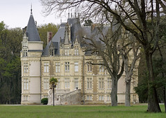
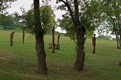
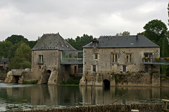
These photos taken near the town of La Chapelle-Saint-Laud can be shown in full screen clicking on the thumbnails. Photos are copyrighted by their owners.
| | |

Corzé sur le Loir
|
photo_00158
|
| |
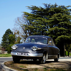
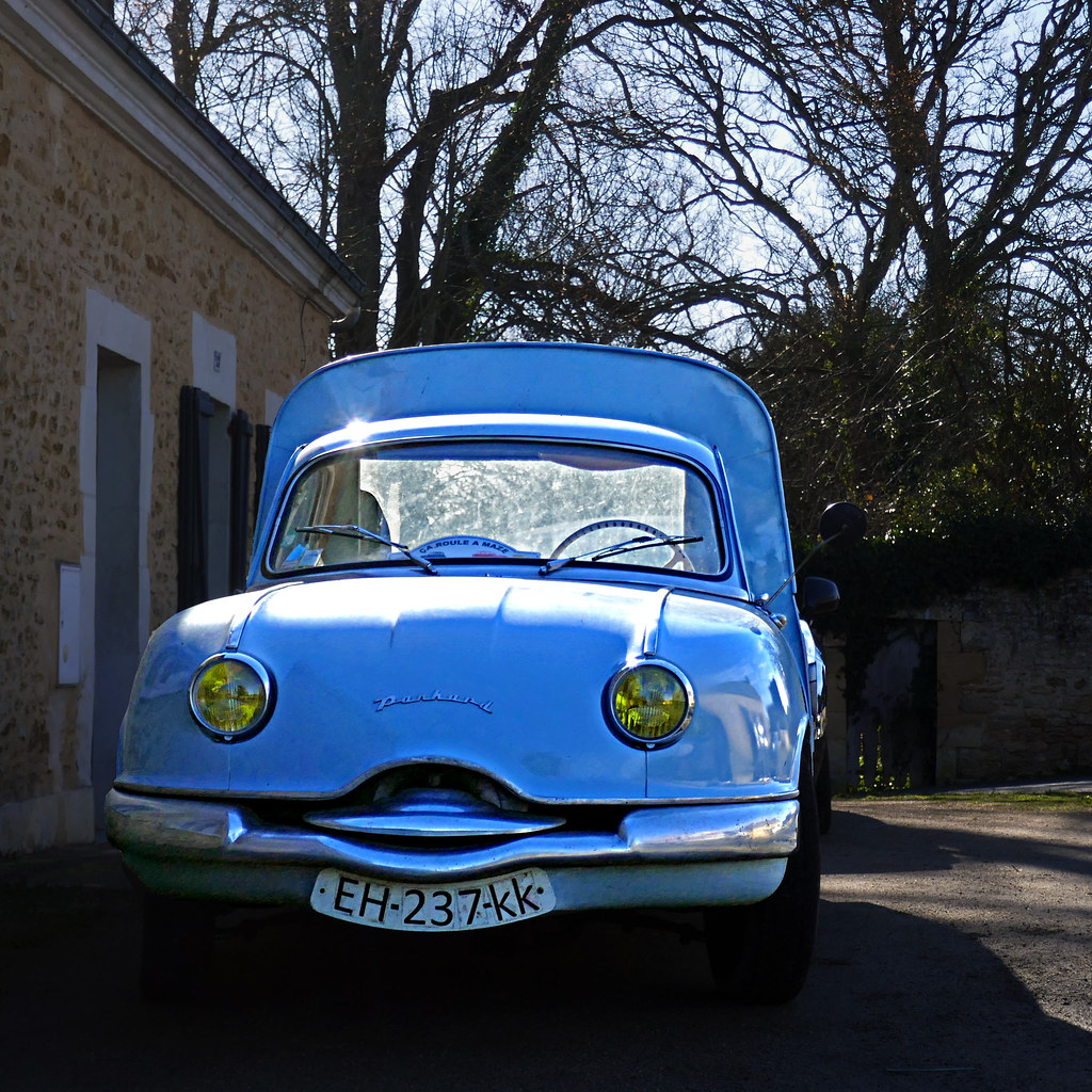
Panhard PL 17, Huillé, Maine-et-Loire
|

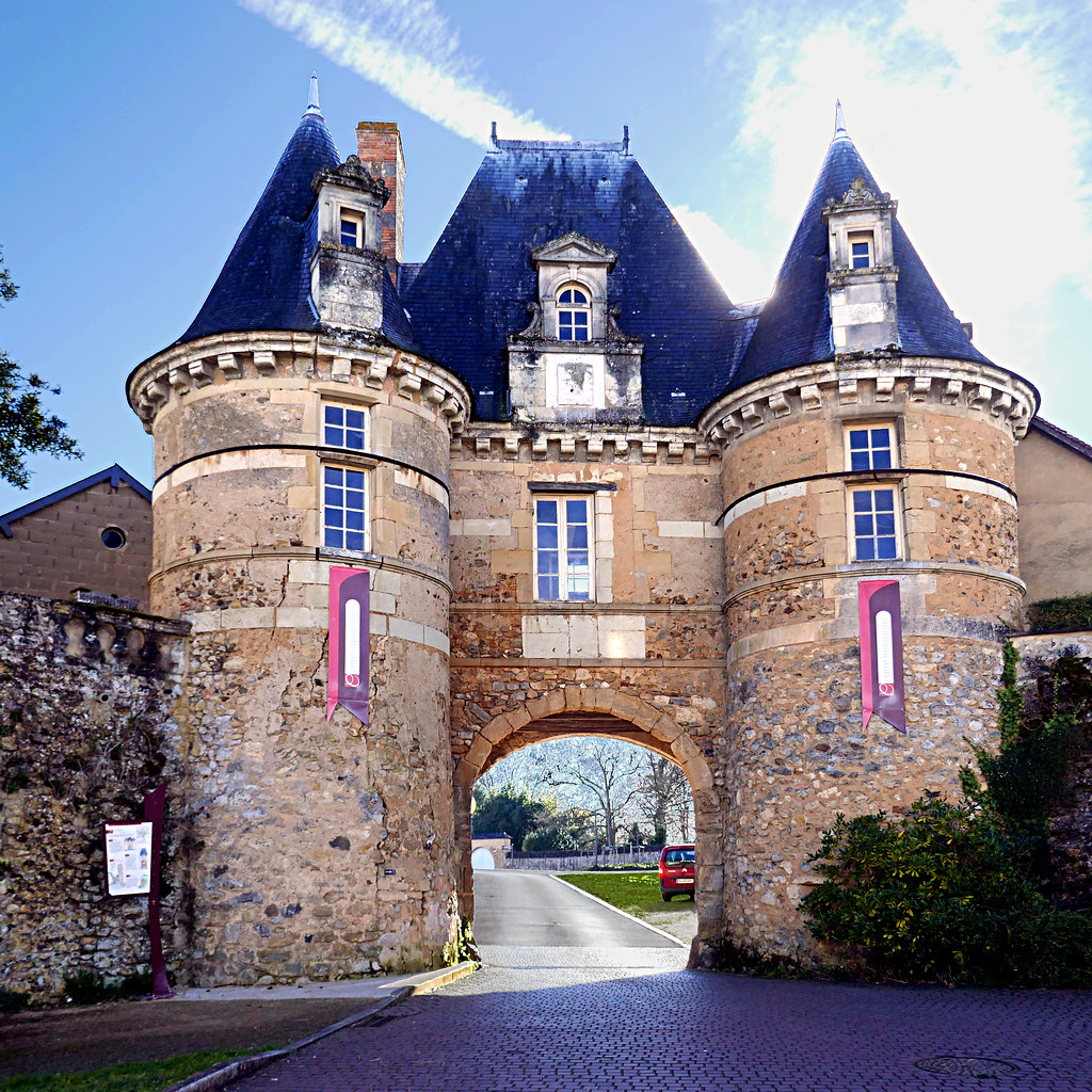
Durtal, la Porte de Véron
|
| |
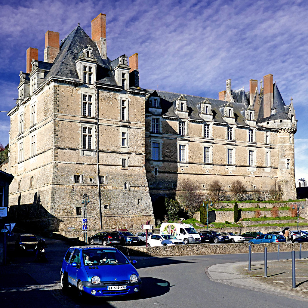
Huillé, Maine-et-Loire, France
|

Twingo de château, Durtal
|
| |
Huillé, Maine-et-Loire, France
|

Panhard Dyna Z pickup 1959
|
| |
Durtal, Maine-et-Loire, France
|

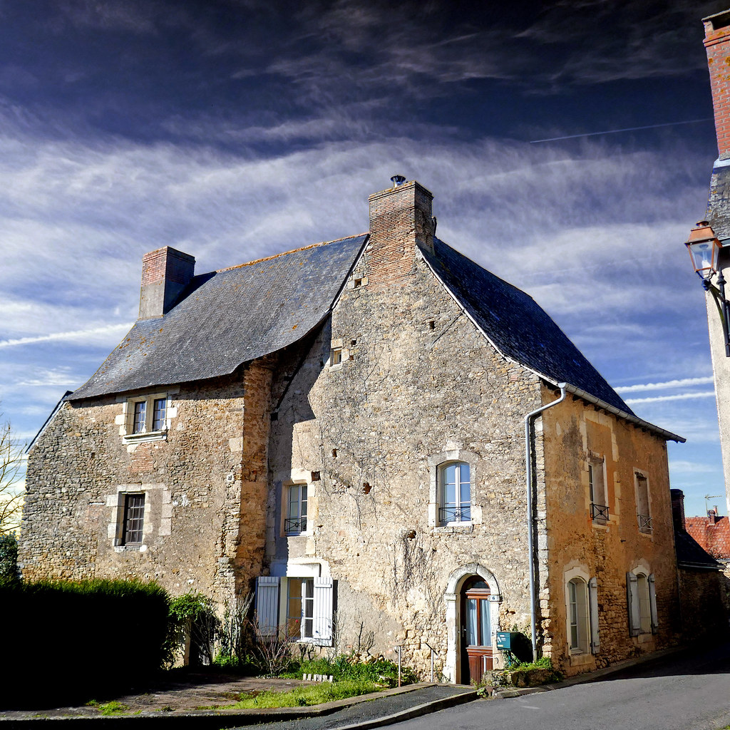
Lézigné, Maine-et-Loire, France
|
| |
Loire-Authion (Maine-et-Loire).
|
Loire-Authion (Maine-et-Loire).
|
| |
Villevêque (Maine-et-Loire)
|
Villevêque (Maine-et-Loire)
|
La Chapelle-Saint-Laud from the sky
|
|
Old photos of the town of La Chapelle-Saint-Laud
|
These photos taken near the town of La Chapelle-Saint-Laud can be shown in full screen clicking on the thumbnails. Photos are copyrighted by their owners.
|
|
Other maps, hotels and towns in france
Find another town, zip code, department, region, ...
Quick links La Chapelle-Saint-Laud :
Back to the menus Map of France :
Make a link to this page of La Chapelle-Saint-Laud with the following code :
|
|
Map of France | Regions | Departments | Cities | Partners | Terms | Contact
|